Sacred Earth · Uganda
Walked down from 4,321 metres.
Eight stations on one staircase, from the caldera of Wagagai to the Nile below Budongo. Four passages of eight days each, priced per person, with the numbers on the page.
Begin the Descent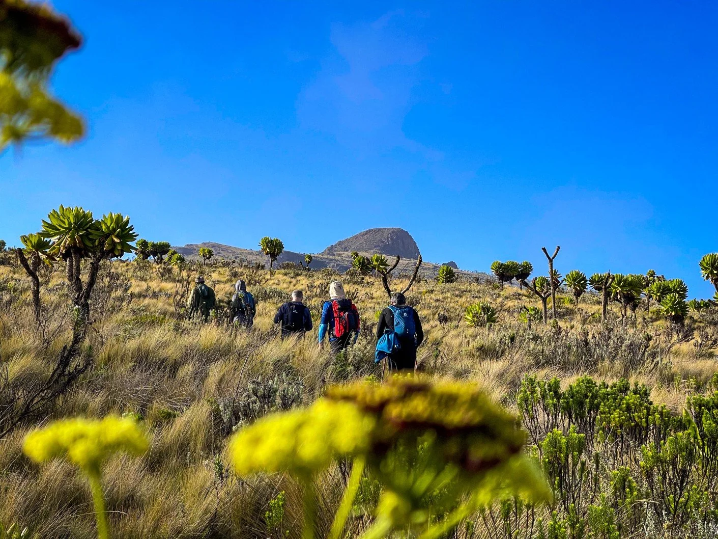
Station 01 · Sacred
Wagagai, Mount Elgon
4,321m
An extinct volcano with one of the largest calderas on earth, and the mountain the Bagisu hold as the source of imbalu, the initiation that orders a man's life. Jackson's Francolin and Alpine Chat on the moorland.
- Sacred
- Birding
- Passage III
Photograph © Sacred Earth
Station 02 · Cosmology
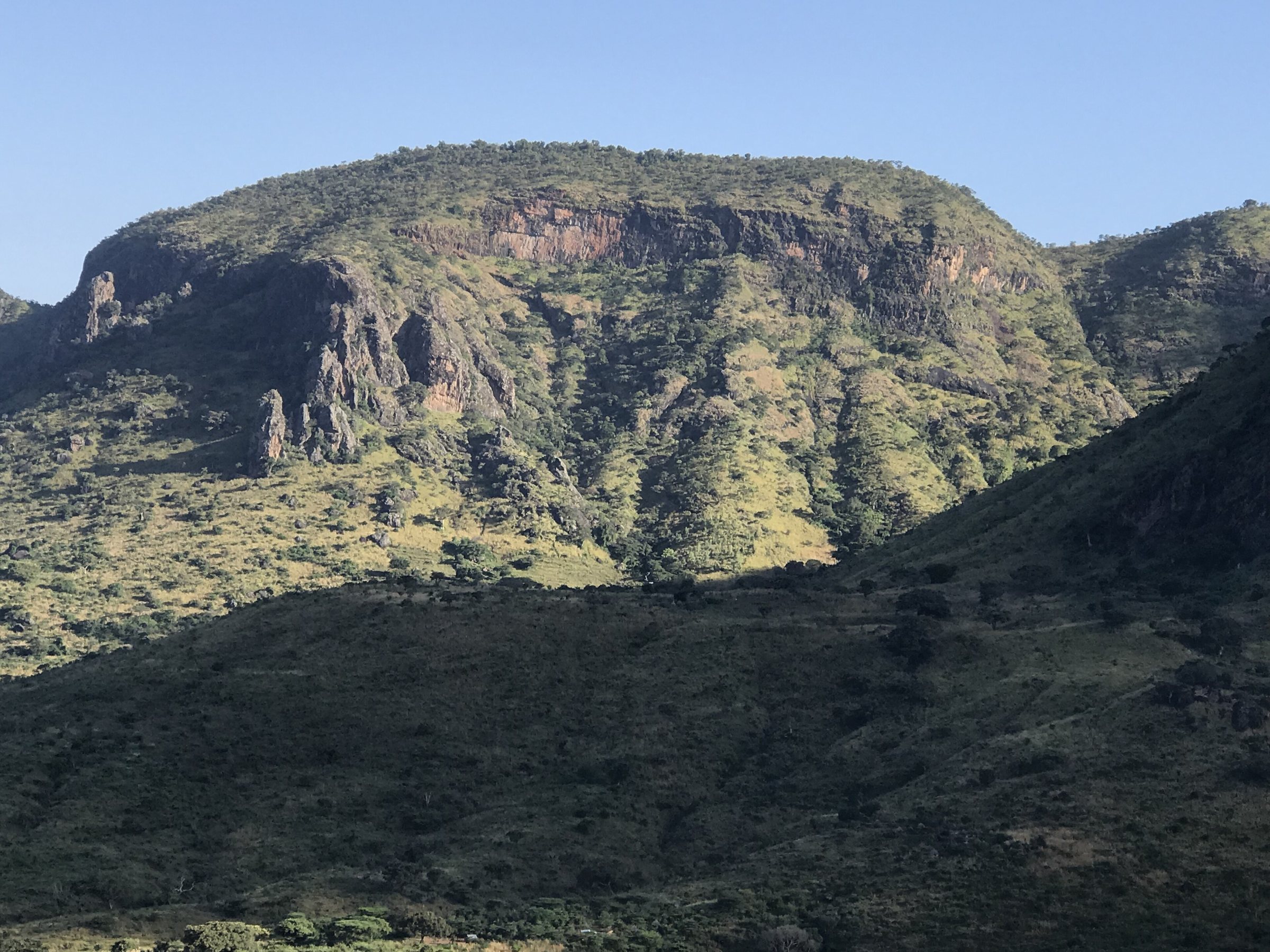
Mount Moroto and the Tepeth
3,083m
Dry-country forest on a mountain the Tepeth have farmed and held for centuries, above the Karamojong plains where cattle are kinship, wealth and ritual at once.
- Cosmology
- Community
- Passage III
Photograph RobertaNK / Wikimedia Commons · CC BY-SA 4.0
Not a tour of Uganda. A descent through it.
Station 03 · Birding
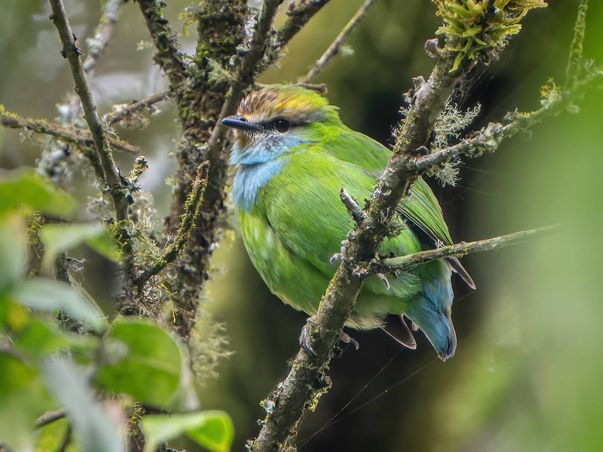
Mubwindi Swamp, Ruhija
2,340m
The trail serious birders cross the world for: African Green Broadbill, Grauer's Rush Warbler, Handsome Francolin. Over twenty Albertine Rift endemics in forest older than the last ice age.
Photograph © Sacred Earth
Station 04 · Community
Sipi Falls and the coffee slope
1,775m
Three waterfalls off Elgon's flank, walked with a community guide, and Arabica taken tree to cup with the Bagisu grower who raised it.
- Waterfalls
- 3
- Above sea level
- 1,775
Photograph Kateregga1 / Wikimedia Commons · CC BY-SA 4.0
Station 05 · Cosmology
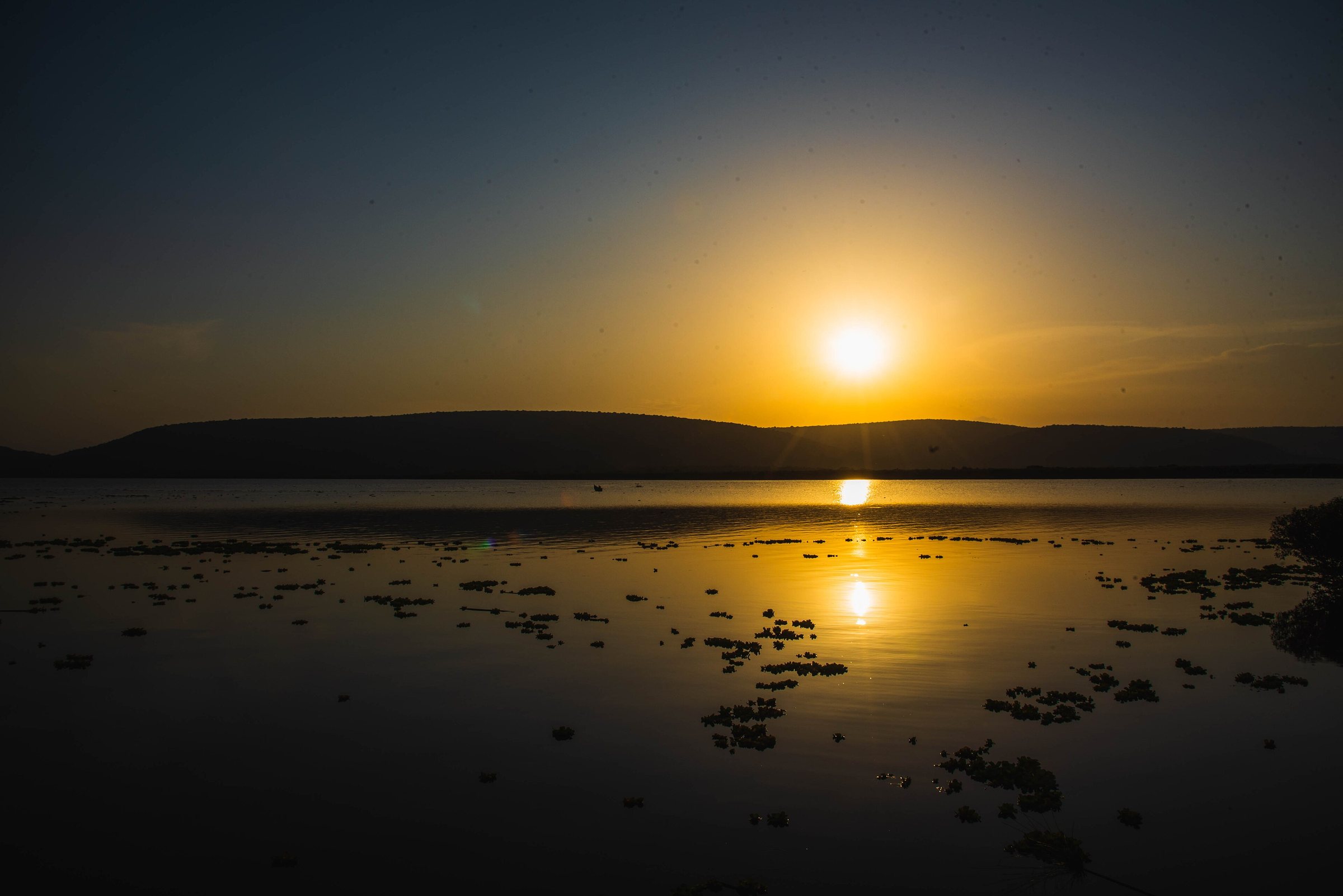
Bigo bya Mugenyi
1,256m
Ten square kilometres of ditch and berm on the south bank of the Katonga, radiocarbon-dated to roughly AD 1300–1500. The largest pre-colonial monument in Uganda, and the material trace of the people oral tradition remembers as the Chwezi.
Photograph Timothy Akolamazima / Wikimedia Commons · CC BY-SA 4.0
Every station is a real place with a real number beside it.
Station 06 · Birding
The Descent, in numbers
Altitude lost so far
3,121 m
Total drop, Wagagai to the Nile
3,701 m
Stations
8
Passages · days each
4 · 8
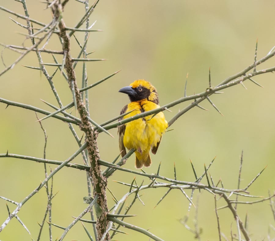
Seasonally-flooded grass and acacia holding Fox's Weaver, found in Uganda and nowhere else on earth, alongside the Karamoja Apalis. Uganda's second-largest protected area, and almost nobody in it.
Photograph avocat / iNaturalist · CC BY 4.0
Station 07 · Wildlife
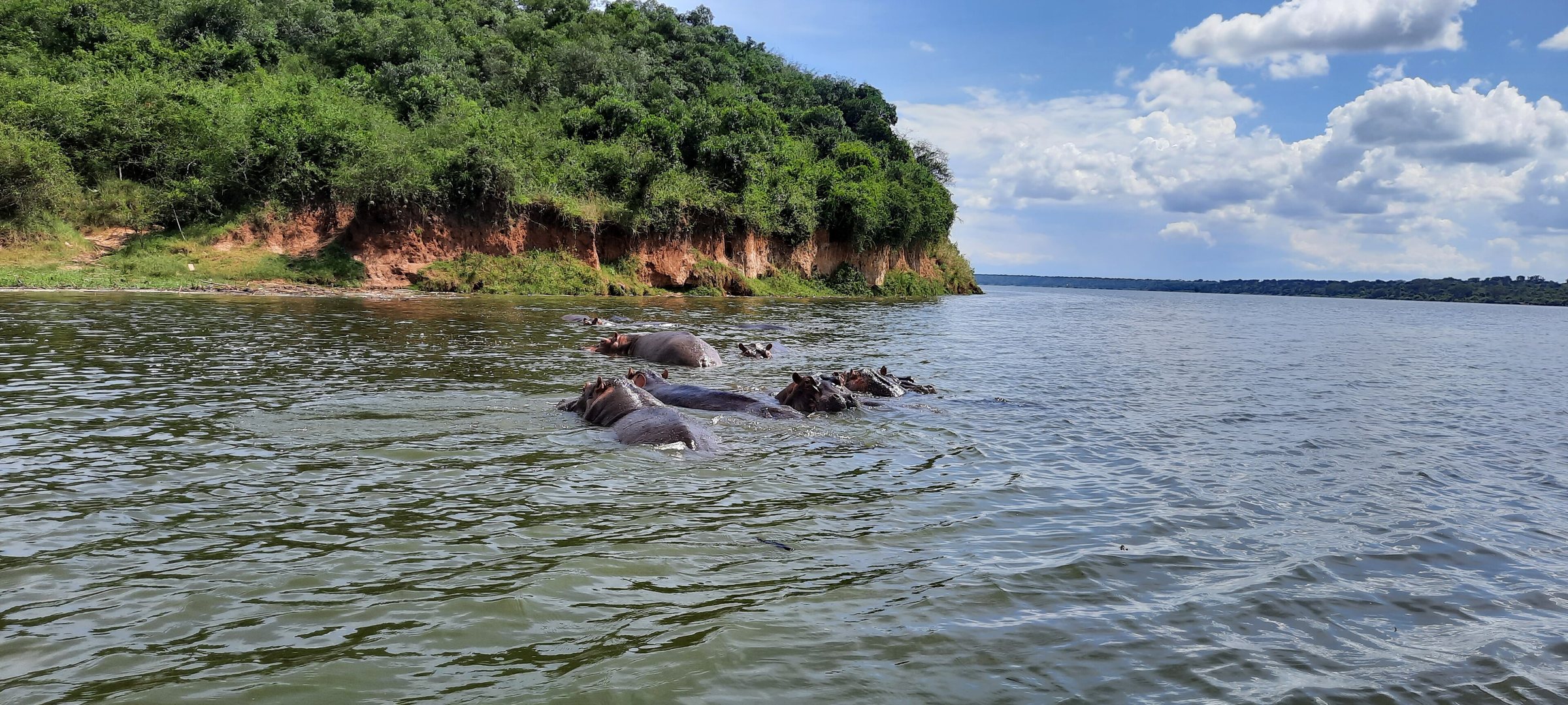
The Kazinga Channel
910m
The densest population in Africa
Hippo
Cutting the surface at dusk
Skimmer
Stacked on the bank
Pelican
Photograph Jchambacha / Wikimedia Commons · CC BY-SA 4.0
Station 08 · Birding · 620 m
The finest single stretch of birding in East Africa.
The staircase ends at the river.
Four passages, eight days each. A deposit of 30% on acceptance, the balance 60 days before departure.
| IThe Chwezi Road | 8 days | from US$9,733 |
|---|---|---|
| IIThe Rift Road | 8 days | from US$11,887 |
| IIIThe Eastern Endemic | 8 days | from US$12,203 |
| IVThe Hour | 8 days | from US$13,672 |
30% on acceptance · balance 60 days before departure
Photograph Josefito123 / Wikimedia Commons · CC BY-SA 4.0